mt.shasta photography
Burney Mountain and Burney Falls |
||||||
 |
 |
 |
||||
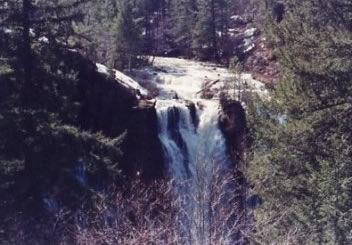
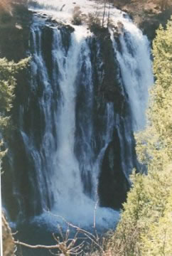
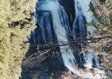
Called "The Eigth Wonder of the world" by President Theodore Roosevelt, It is a magnificent waterfall in which is now the McArthur-Burney Falls There are five miles of hiking trails winding through the park's evergreen resource: Ca parks and recreation |
The park is within the Cascade Range and Modoc Plateau natural region, with forest and five miles of streamside and lake shoreline, including a portion of Lake Britton. The park's centerpiece is the 129-foot Burney Falls, which is not the highest or largest waterfall in the state, but possibly the most beautiful. Additional water comes from springs, joining to create a mist-filled basin. Burney Creek originates from the park's underground springs and flows to Lake Britton, getting larger along the way t o the majestic falls. The park's landscape was created by volcanic activity as well as erosion from weather and streams. This volcanic region is surrounded by mountain peaks and is covered by black volcanic rock, or basalt. Created over a million years ago, the layered, porous basalt retains rainwater and snow melt, which forms a large underground reservoir. Within the park, the water emerges as springs at and above Burney Falls, where it flows at 100 million gallons every day. |
|||||

